Satellite Mapping Shows Ice Caps’ Faster Melt Rate
Scientists have been able to measure more accurately than ever the thickness of the world's major ice caps -- revealing that melting is causing the loss of 500 cubic kilometers of ice annually.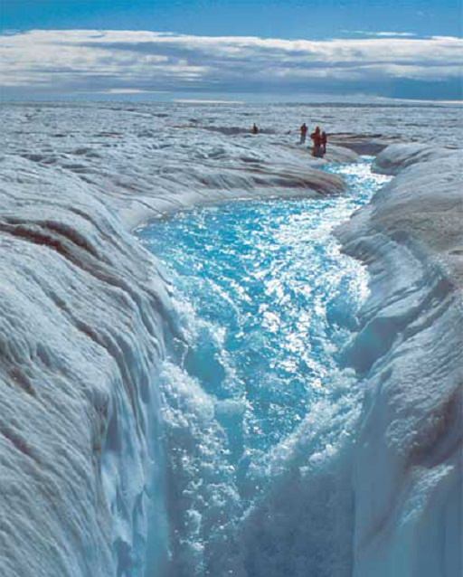
By Tim Radford, Climate News NetworkThis piece first appeared at Climate News Network.
LONDON — German researchers have established the height of the Greenland and Antarctic ice caps with greater precision than ever before. And the new maps they have produced show that the ice is melting at an unprecedented rate.
The maps, produced with a satellite-mounted instrument, have elevation accuracies to within a few metres. Since Greenland’s ice cap is more than 2,000 metres thick on average, and the Antarctic bedrock supports 61% of the planet’s fresh water, this means that scientists can make more accurate assessments of annual melting.
Dr Veit Helm and other glaciologists at the Alfred Wegener Institute’s Helmholtz Centre for Polar and Marine Research in Bremerhaven, Germany, report in the journal The Cryosphere that, between them, the two ice sheets are now losing ice at the unprecedented rate of 500 cubic kilometres a year.
Big picture
The measurements used to make the maps were taken by an instrument aboard the European Space Agency’s orbiting satellite CryoSat-2. The satellite gets closer to the poles ? to 88° latitude ? than any previous mission and traverses almost 16 million sq km of ice, adding an area of ice the size of Spain to the big picture of change and loss in the frozen world.
CryoSat-2’s radar altimeter transmitted 7.5 million measurements of Greenland and 61 million of Antarctica during 2012, enabling glaciologists to work with a set of consistent measurements from a single instrument.
Over a three-year period, the researchers collected 200 million measurements in Antarctica and more than 14 million in Greenland. They were able to study how the ice sheets changed by comparing the data with measurements made by NASA’s ICESat mission.
More complex
Greenland’s volume of ice is being reduced at the rate of 375 cubic km a year. In Antarctica, the picture is more complex as the West Antarctic ice sheet is losing ice rapidly, but is growing in volume in East Antarctica.
Overall, the southern continent ? 98% of which is covered with ice and snow ? is losing 125 cubic km a year. These are the highest rates observed since researchers started making satellite observations 20 years ago.
“Since 2009, the volume loss in Greenland has increased by a factor of about two, and the West Antarctic ice sheet by a factor of three,” said Angelika Humbert, one of the report’s authors.
Your support matters…Independent journalism is under threat and overshadowed by heavily funded mainstream media.
You can help level the playing field. Become a member.
Your tax-deductible contribution keeps us digging beneath the headlines to give you thought-provoking, investigative reporting and analysis that unearths what's really happening- without compromise.
Give today to support our courageous, independent journalists.
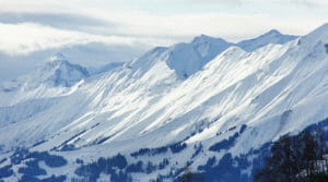 Scientists say 2,000 square miles of the country has lost permanent snow cover over the past 22 years and serious threats to the water supply and tourism have resulted.
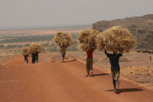
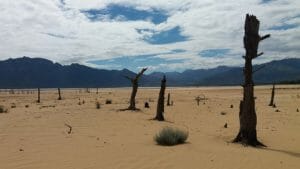 A more variable climate spells another injustice in a warming world, with the poorest people likely yet again to feel the heat most intensely.
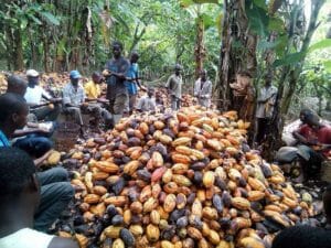 Fears that the supply of cocoa beans will dry up lead a confectionery giant to create a plan to help farmers have a sustainable future.
 European scientists say there is hope that a parched swath of Africa could suddenly start to receive heavy seasonal rainfall.
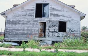 Climate change, left unchecked, is expected to make the U.S. poorer and more unequal. (Pictured: A house in New Orleans destroyed by Hurricane Katrina.)
You need to be a supporter to comment.
There are currently no responses to this article.
Be the first to respond.