How Sea Levels Will Rise
The New York Times on Sunday published a series of maps showing coastal and low-lying areas in the United States that could be permanently flooded as sea levels rise in the coming decades and centuries.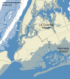
The New York Times on Sunday published a series of maps showing coastal and low-lying areas in the United States that could be permanently flooded as sea levels rise in the coming decades and centuries.
Major metropolitan areas on the country’s seaboards appear with toggleable settings showing the intrusion of the oceans at various levels of predicted elevation, using data provided by the U.S. Geological Survey and the National Oceanic Atmospheric Administration. At a rise of 25 feet, Charleston, S.C., is predicted to be 80 percent flooded; Miami Beach, New Orleans and Atlantic City 100 percent underwater; and New York City 39 percent submerged, with large portions of all five boroughs gone, including much of Manhattan below 34th Street.
None of this could be called “good” news, but many cities in the West are expected to make out relatively well. An estimated 13 percent of Seattle and 16 percent of Portland, Ore., are projected to disappear, along with 6 percent of San Diego, 19 percent of San Francisco and 3 percent of Los Angeles. Many of these cities’ most scenic areas lie within the vulnerable zones.
Another tool called Sea Level Rise Explorer, published by Global Warming Art, lets users view endangered areas across the world and provides further scientific background to the predictions.
— Posted by Alexander Reed Kelly.
Your support matters…Independent journalism is under threat and overshadowed by heavily funded mainstream media.
You can help level the playing field. Become a member.
Your tax-deductible contribution keeps us digging beneath the headlines to give you thought-provoking, investigative reporting and analysis that unearths what's really happening- without compromise.
Give today to support our courageous, independent journalists.
 Several of the real estate family's schemes and deceptions amount to "outright fraud," according to the New York Times.
 With his casino background, the Republican nominee is an expert at attracting gamblers—people who are willing to throw the dice with the illogical hope it will make their lives better.
With his casino background, the Republican nominee is an expert at attracting gamblers—people who are willing to throw the dice with the illogical hope it will make their lives better.
With his casino background, the Republican nominee is an expert at attracting gamblers—people who are willing to throw the dice with the illogical hope it will make their lives better.
 Bankruptcy was designed so people could start over. But these days, the only ones starting over are big corporations, wealthy moguls and Wall Street bankers, who have had enough political clout to shape bankruptcy laws (like many other laws) to their needs.
You need to be a supporter to comment.
There are currently no responses to this article.
Be the first to respond.